Also on the map ofAllgäu Alps‹ Alps
Oberjoch Pass
- Connects
- Am Schedler – Rehbach
- Tonight
- -1°CSnow · Wind 7 km/h NW
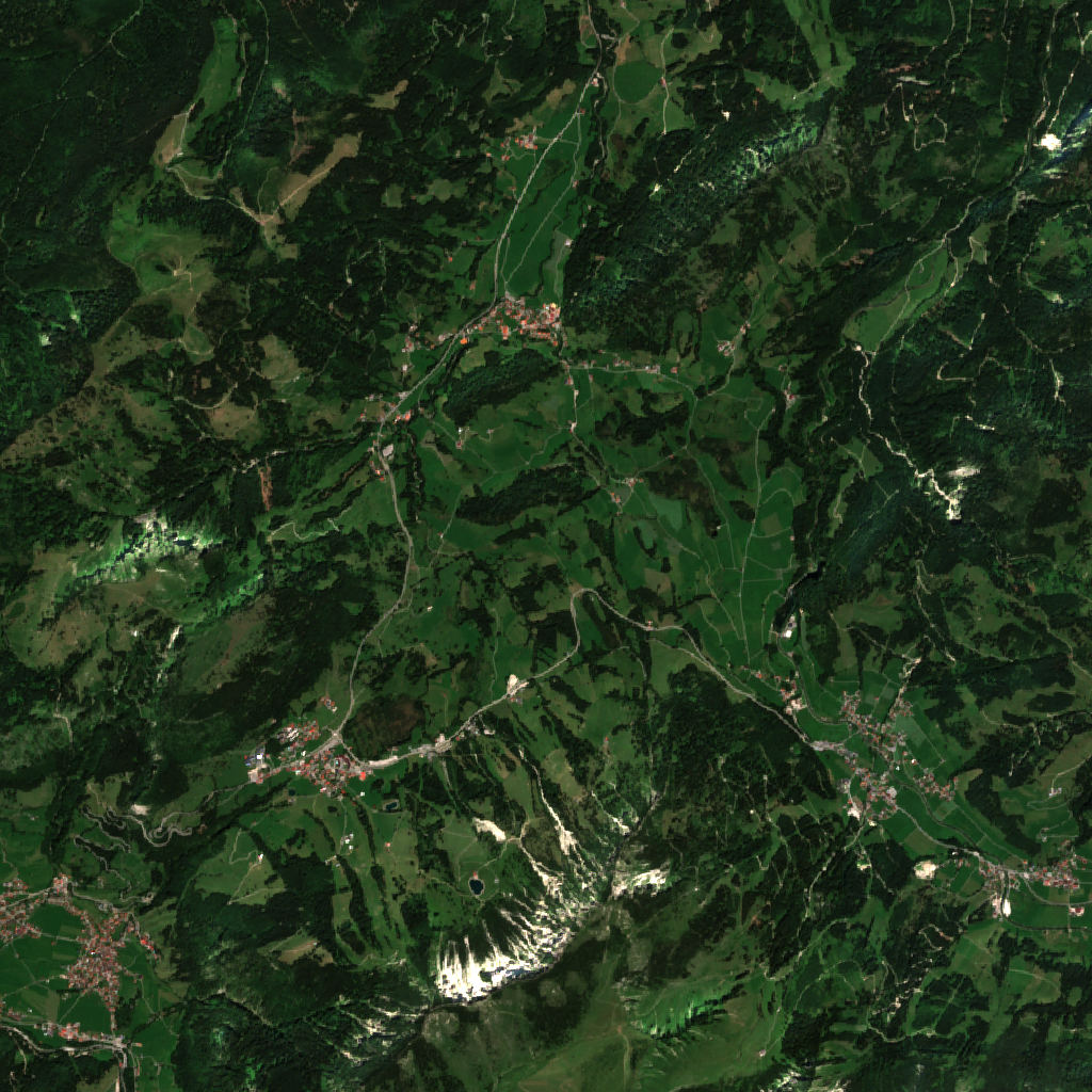
Oberjoch Pass is a mountain pass at 1,155 m in Bavaria, Germany. It links Am Schedler and Rehbach.
All facts
- Saddle
- 1,155 m
- Lowest point
- 1,077 m / 998 m
Oberjoch Pass: the climb from each side
Crossed by: a mapped trail
Distances are straight lines from the saddle to the lowest ground on each side; the road is longer.
Oberjoch Pass 3D map
Drag to orbit · click, then scroll to zoom (or Ctrl/⌘ + scroll) · One finger scrolls the page · two fingers orbit and zoom · 8 × 8 km
Oberjoch Pass terrain and contours
50 m contours from the Copernicus GLO-30 terrain model. Click two points on the map to draw your own cross-section.Tap two points on the map to draw your own cross-section.
Oberjoch Pass elevation profile
West → east through the centre
Oberjoch Pass weather
Today · Rain · -1 / 5°C (30 / 41°F) · 12.8 mm · Wind 7 km/h NW
Oberjoch Pass forecast for about 1,155 m.
- Today-1°5°12.8 mm7 km/h NW
- Mon-9°0°0.3 mm7 km/h NW
- Tue-5°2°–7 km/h SE
- Wed-2°5°14.9 mm10 km/h SE
- Thu-4°-2°11.0 mm4 km/h W
- Fri-5°-1°–5 km/h NE
- Sat-11°-3°–5 km/h SE
- Sun-12°1°–5 km/h SE
- Mon-6°3°–4 km/h S
- Tue-6°2°1.0 mm6 km/h S
Forecast data: MET Norway, CC BY 4.0; daily low and high, precipitation total and strongest wind from the hourly data, model run Nov 22, 11:18 UTC.
Camping & parking near Oberjoch Pass
Campsites, parking, trailheads and mountain huts mapped in OpenStreetMap around Oberjoch Pass, nearest first, by straight-line distance. Check access, fees and permits locally.
Nearest parking
Zweithöchster Punkt im Bundesstraßennetz
Nearest campsite
Campingplatz Bergheimat
Nearest hut
Haus Schattwald
Nearest caravan site
Wohnmobilpark Bad Hindelang
All mapped places 10
| Place | Distance |
|---|---|
| Zweithöchster Punkt im BundesstraßennetzParking | 0.2 km SSW |
| Parking | 0.5 km ESE |
| Parking | 0.6 km ESE |
| Campingplatz BergheimatCampsite | 1.3 km SW |
| Haus SchattwaldHut | 2.8 km ESE |
| Untere OchsenalpeHut | 3.1 km SW |
| Obere OchsenalpeHut | 3.3 km SW |
| Campingplatz Alpenwelt Tannheimer TalCampsite | 5.1 km ESE |
| Wohnmobilpark Bad HindelangCaravan site | 5.5 km WSW |
| SägewerkCaravan site | 5.8 km SW |
Slope
Share of the 8 × 8 km view by steepness, from the 30 m model.
Mixed terrain: gentle slopes, steep faces and everything between.
- Steeper than 30°
- 21.7% of the 64 km² view
- Relief in view
- 1,097 m low point 802 m
Land cover
ESA WorldCover 10 m classification of the same area.
Snow & ice means glaciers and year-round snow (a yearly average), not today’s snow cover.
Nearby summits
Named peaks within 4 km of Oberjoch Pass.
Summit list 4
- 1Kühgundspitz1,856 m 2.6 km S
- 2Kühgundkopf1,908 m 2.9 km S
- 3Iseler1,876 m 3.4 km S
- 4Wertacher Hörnle1,695 m 3.9 km NW
Wildlife seen nearby
Sightings of the most-seen species on iNaturalist (research grade) within 4 km; 508 species recorded in all.
Sightings per species 6
- Silver Thistle27
- Early Purple Orchid19
- Alpine Salamander17
- European Common Frog14
- Willow gentian14
- Spring gentian14
Where Oberjoch Pass sits
- Range
- Alps951Eastern Alps442Northern Eastern Alps77Bavarian Alps23Allgäu Alps12
Nearby places
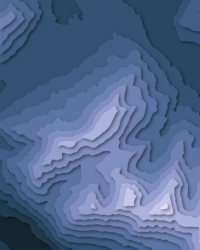 KühgundkopfPeak · 1,908 m↑2.9 km S
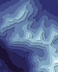 B'schießerPeak · 2,000 m↑4.7 km S
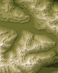 Tannheimer Tal1,092 m↑5.3 km ESE
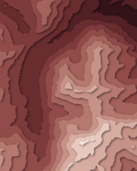 RotspitzPeak · 2,034 m↑9.0 km SSW
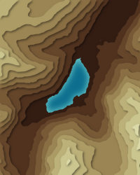 VilsalpseeLake · 1,165 m↑9.3 km SE
More in the Allgäu Alps 6
Oberjoch Pass downloads: topographic map, heightmap, STL 3D model and DEM
Free files made in your browser from this page's terrain data. No sign-up; credit the sources below.
Print & wall
3D printing & 3D apps
GIS & GPS
Free to use with credit: see the data sources
Data sources
- Terrain
- Produced using Copernicus WorldDEM-30 © DLR e.V. 2010-2014 and © Airbus Defence and Space GmbH 2014-2018 provided under COPERNICUS by the European Union and ESA; all rights reserved. The European Union, ESA, DLR and Airbus incur no liability for any use of this data and do not endorse this service.
- Imagery
- Contains modified Copernicus Sentinel data 2026 (scene 2026-07-24)
- Land cover
- © ESA WorldCover project 2021 / Contains modified Copernicus Sentinel data (2021) processed by ESA WorldCover consortium
- Facts
- Wikidata (CC0)
- Camping & parking, Geometry
- © OpenStreetMap contributors (ODbL)
- Summits
- © OpenStreetMap contributors, via Overture Maps Foundation (ODbL)
- Wildlife
- iNaturalist community observations, counts only
- Panorama
- Includes Copernicus WorldDEM-90 © DLR e.V. 2010-2014 and © Airbus Defence and Space GmbH 2014-2018 provided under COPERNICUS by the European Union and ESA; all rights reserved. The European Union, ESA, DLR and Airbus incur no liability for any use of this data and do not endorse this service.
- Forecast
- Weather forecast from MET Norway (CC BY 4.0)
- Sources
- Wikidata · OpenStreetMap · Wikipedia