Mountains
Nikkō National Park Map: Lakes, Peaks and Camping
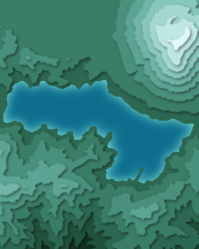
Map of 3 places in Nikkō National Park: 2 peaks and 1 lake, each with a 3D terrain model, contours and an elevation profile.
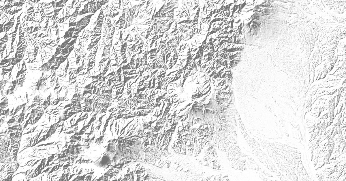
- Lake
- Peak
Peaks
2 peaks

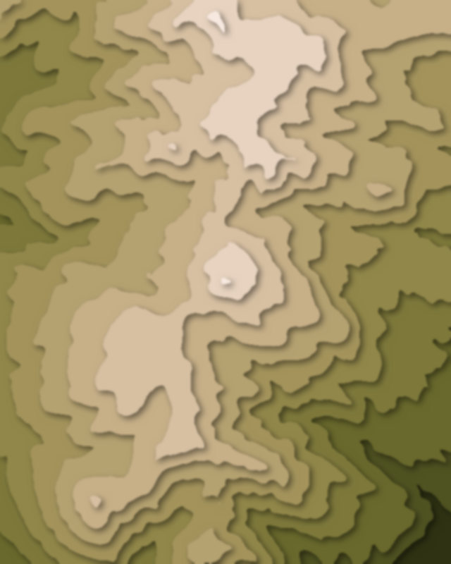
Lakes
1 lake

Camping and parking in Nikkō National Park
Campsites, huts, car parks and trailheads mapped in OpenStreetMap near the park's places, each under the place it is nearest to, by straight-line distance. Check access, fees and permits locally.
Campsites 3
菖蒲ヶ浜キャンプ場
Campsite
湯元キャンプ場
Huts 3
Hut
Hut
Hut
Parking 6
Parking
竜頭ノ滝下バス駐車場
竜頭ノ滝下駐車場
Parking
Parking
More 1
県営湖畔第一駐車場
Trailheads 2
太郎山ハガタテ登山口
太郎山登山口