Mountains
Myōkō-Togakushi Renzan National Park Map: Peaks and Camping
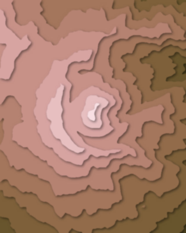
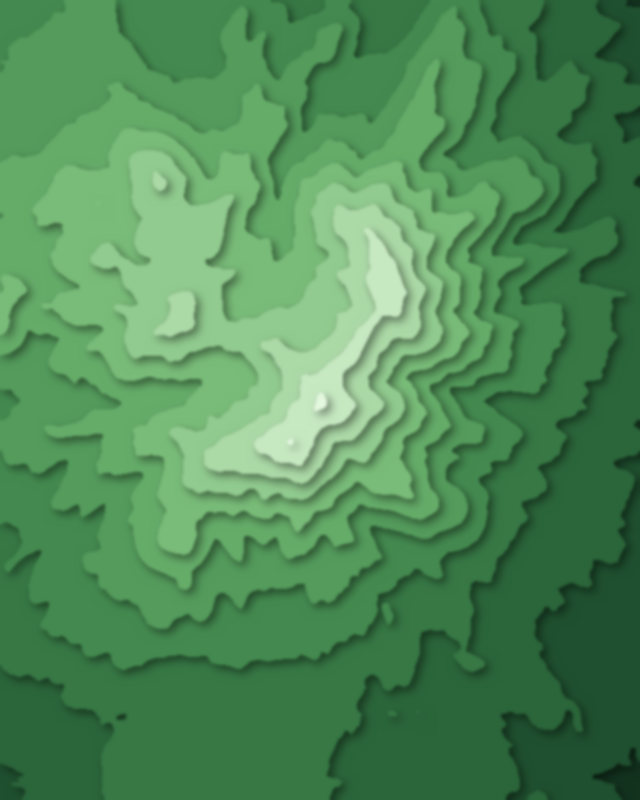
Map of 3 places in Myōkō-Togakushi Renzan National Park: 3 peaks, each with a 3D terrain model, contours and an elevation profile.
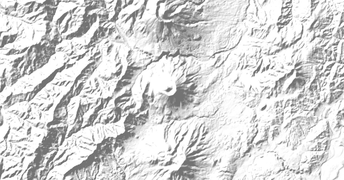
Peaks
3 peaks


Camping and parking in Myōkō-Togakushi Renzan National Park
Campsites, huts, car parks and trailheads mapped in OpenStreetMap near the park's places, each under the place it is nearest to, by straight-line distance. Check access, fees and permits locally.
Campsites 6
黒姫きゃんぷらんど(旧:黒姫CampGarden)
黒姫Doggo Village
笹ヶ峰キャンプ場
ラボランドくろひめ
アルペンブリックアウトドアベース
More 1
『IMORI CAMPSITE』~いもりの森~
Huts 3
黒沢池ヒュッテ
高谷池ヒュッテ
高谷池ヒュッテ
Parking 6
Parking
Parking
Parking
苗名滝P
Parking
More 1
Parking