Mountains
Lassen Volcanic National Park Map: Lakes, Peaks and Camping
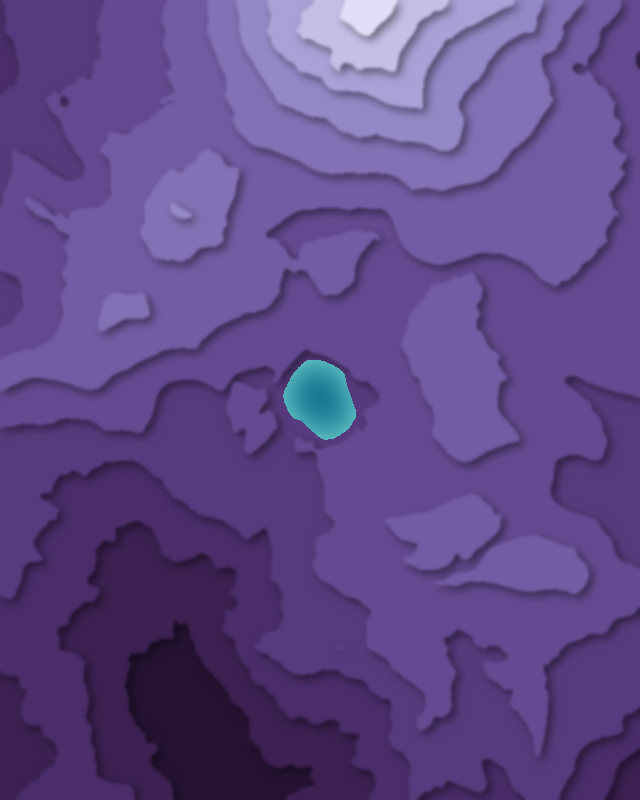
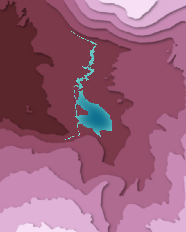
Map of 3 places in Lassen Volcanic National Park: 2 lakes and 1 peak, each with a 3D terrain model, contours and an elevation profile.
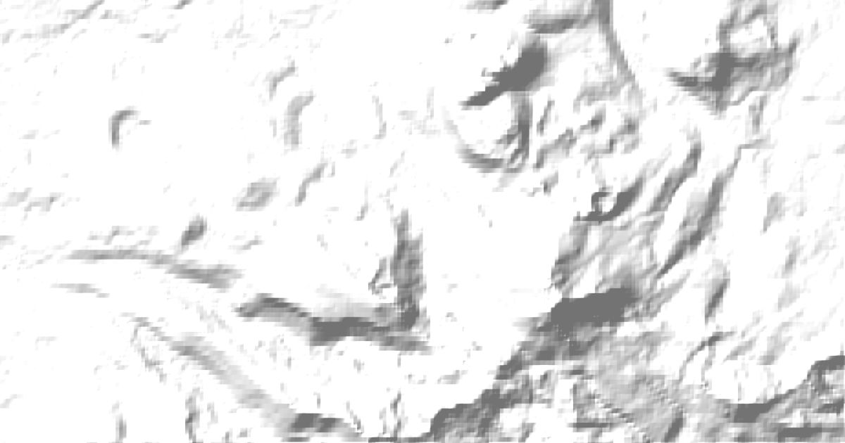
- Peak
- Lake
Lakes
2 lakes
Peaks
1 peak


Camping and parking in Lassen Volcanic National Park
Campsites, huts, car parks and trailheads mapped in OpenStreetMap near the park's places, each under the place it is nearest to, by straight-line distance. Check access, fees and permits locally.
Campsites 5
Manzanita Lake Campground
D-19
Southwest Campground
Crags Campground
Summit Lake South
Parking 7
Lake Helen
Parking
Parking
Parking
Bumpass Hell Parking
More 2
Parking
Parking
Trailheads 6
Bumpass Hell Trailhead
Nobles Emigrant-Summertown Trailhead
Manzanita Lake Trailhead
Lily Pond Trailhead
Lassen Peak Trailhead
More 1
Terrace Lake-Park Highway Trailhead