Mountains
Kirishima-Kinkōwan National Park Map: Lakes, Peaks and Camping
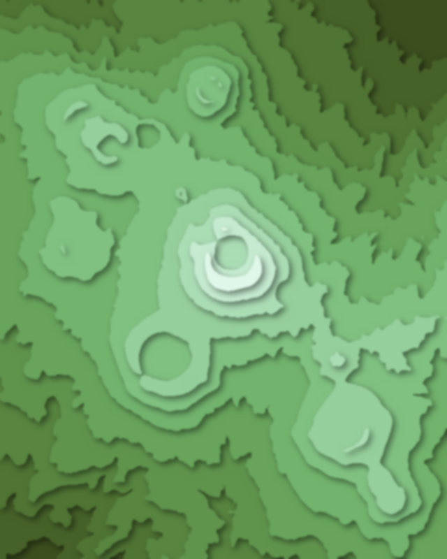
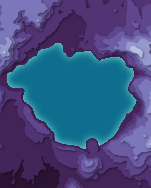
Map of 4 places in Kirishima-Kinkōwan National Park: 3 peaks and 1 lake, each with a 3D terrain model, contours and an elevation profile.
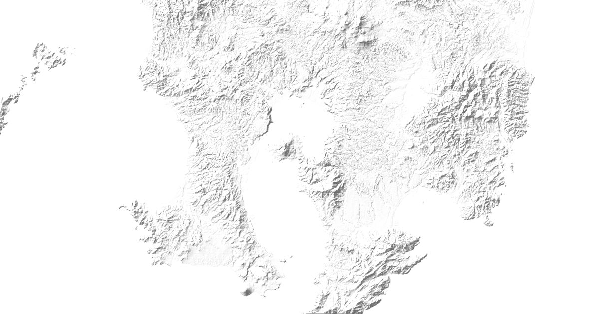
- Lake
- Peak
Peaks
3 peaks


Lakes
1 lake

Camping and parking in Kirishima-Kinkōwan National Park
Campsites, huts, car parks and trailheads mapped in OpenStreetMap near the park's places, each under the place it is nearest to, by straight-line distance. Check access, fees and permits locally.
Campsites 6
かいもん山麓ふれあい公園・キャンプ場
指宿レイクグリーンキャンプ場
霧島緑の村
いぶすき焚き火の森ソロキャンプ場
ひなもりオートキャンプ場
More 1
えびの高原キャンプ村
Caravan sites 1
Caravan site
Parking 9
開聞山麓ふれあい公園駐車場
Parking
Parking
Parking
Parking
More 4
Parking
Parking
Parking
Parking