Mountains
Jōshin'etsu-kōgen National Park Map: Peaks, Canyons and Camping
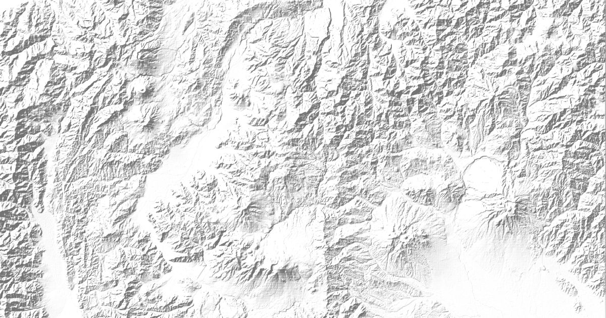
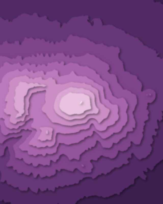
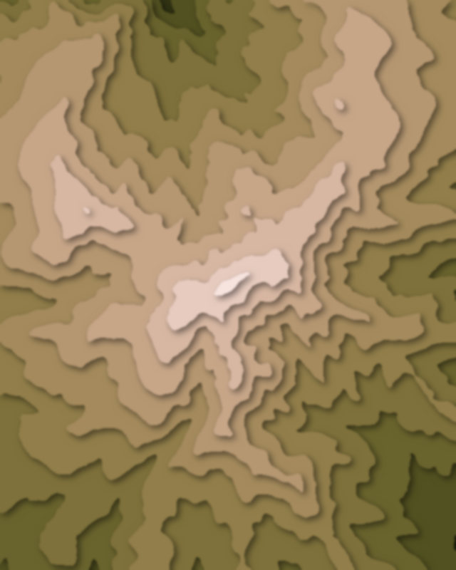
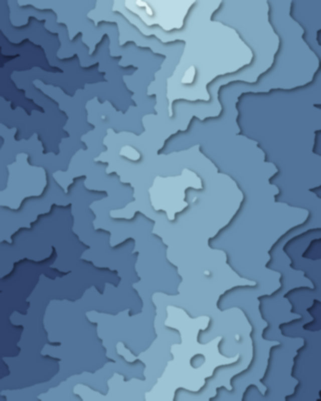
Map of 6 places in Jōshin'etsu-kōgen National Park: 4 peaks, 1 canyon and 1 pass, each with a 3D terrain model, contours and an elevation profile.
- Peak
- Pass
- Canyon
Peaks
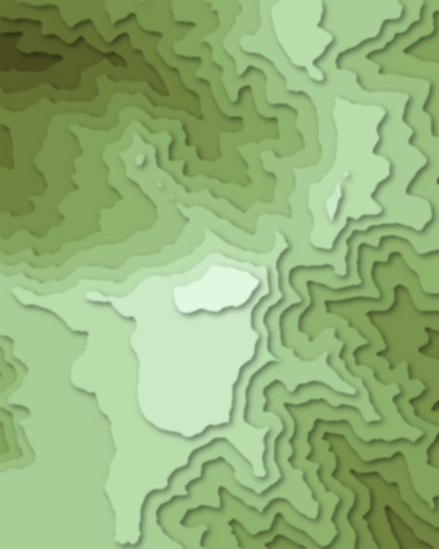
4 peaks
Canyons
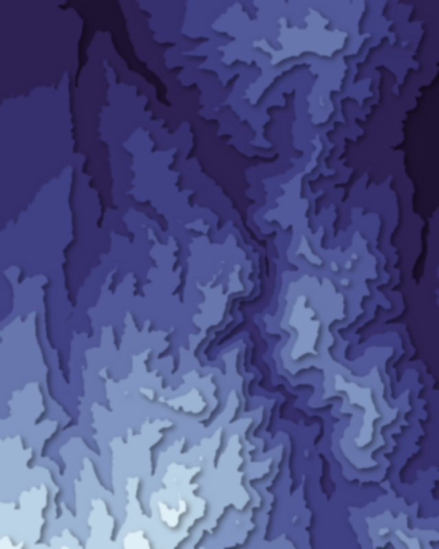
1 canyon
Passes
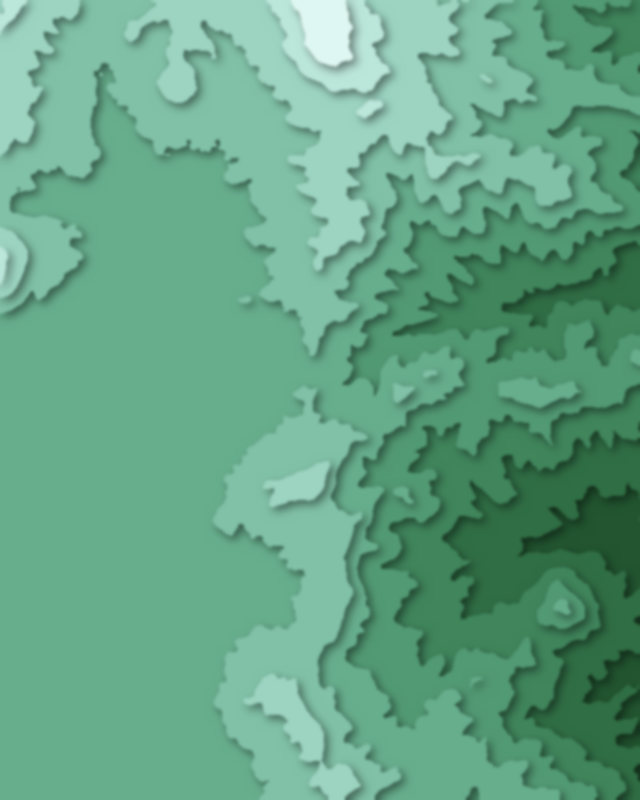
1 pass

Camping and parking in Jōshin'etsu-kōgen National Park
Campsites, huts, car parks and trailheads mapped in OpenStreetMap near the park's places, each under the place it is nearest to, by straight-line distance. Check access, fees and permits locally.
Campsites 8
七ツ釜キャンプ場
清田山キャンプ場
石打ユングパルナス オートキャンプ場
天狗温泉 浅間山荘キャンプ場
栃川高原キャンプ場
More 3
のよさの里キャンプ場
Kitakaru space / 北軽スペース
あさまの森オートキャンプ場
Huts 4
苗場山頂ヒュッテ
火山館
和田小屋
アーバンヒル石打
Parking 9
Parking
Parking
Parking
小赤沢3合目駐車場
Parking
More 4
Parking
Parking
小赤沢温泉;楽養館(P無)
Parking