Inyo National Forest Map: Lakes, Peaks and Camping
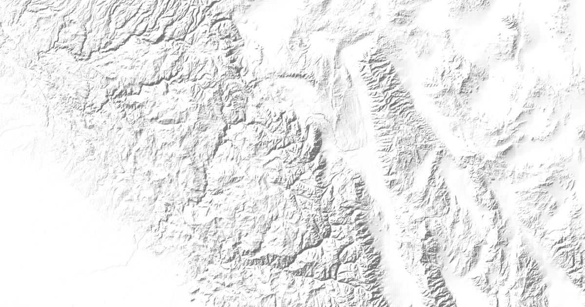
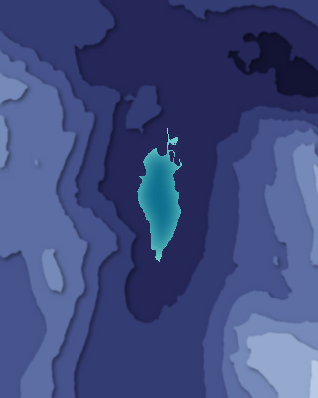
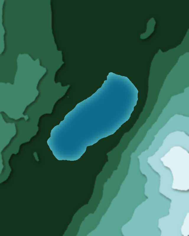
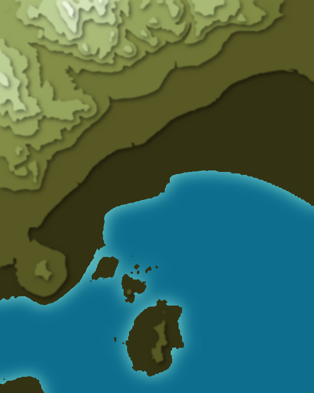
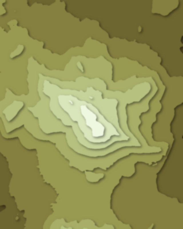
Map of 5 places in Inyo National Forest: 3 lakes, 1 pass and 1 peak, each with a 3D terrain model, contours and an elevation profile.
- Peak
- Lake
- Pass
Lakes
3 lakes
Passes
1 pass
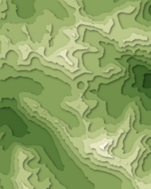
Peaks
1 peak

Camping and parking in Inyo National Forest
Campsites, huts, car parks and trailheads mapped in OpenStreetMap near the park's places, each under the place it is nearest to, by straight-line distance. Check access, fees and permits locally.
Campsites 12
Tioga Lake Campground
June Lake Campground
Oh! Ridge Campground
Junction Campground
Ellery Campground
More 7
Gull Lake Campground
Lower Falls Tract
Tamarack Lodge
Twin Lakes Campground
Onion Valley Campground
Wheelbarrow Camp
Campsite
Caravan sites 4
June Lake RV Park and House
Golden Pine RV Park
Silver Lake RV Park
Mammoth Mountain RV Park
Parking 13
Parking
Parking
Parking
Parking
Parking
More 8
Parking
Parking
Parking
Parking
Parking
Parking
Parking
Parking
Trailheads 10
Glacier Canyon Trailhead
Nunatak Tioga Tarns Trailhead
Gaylor Lakes Trailhead
Red Cones Trailhead
Reversed Peak - East
More 5
Onion Valley Trailhead
Deer Lakes Trailhead
Mammoth Rock Trailhead
Yost Creek and Fern Lake Trailhead
Rush Creek Trailhead