Grand Teton National Park Map: Lakes, Peaks and Camping
Map of 6 places in Grand Teton National Park: 3 lakes, 2 glaciers and 1 peak, each with a 3D terrain model, contours and an elevation profile.
- Peak
- Lake
- Glacier
Lakes
3 lakes
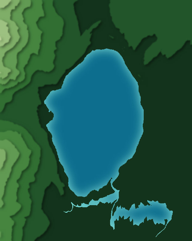
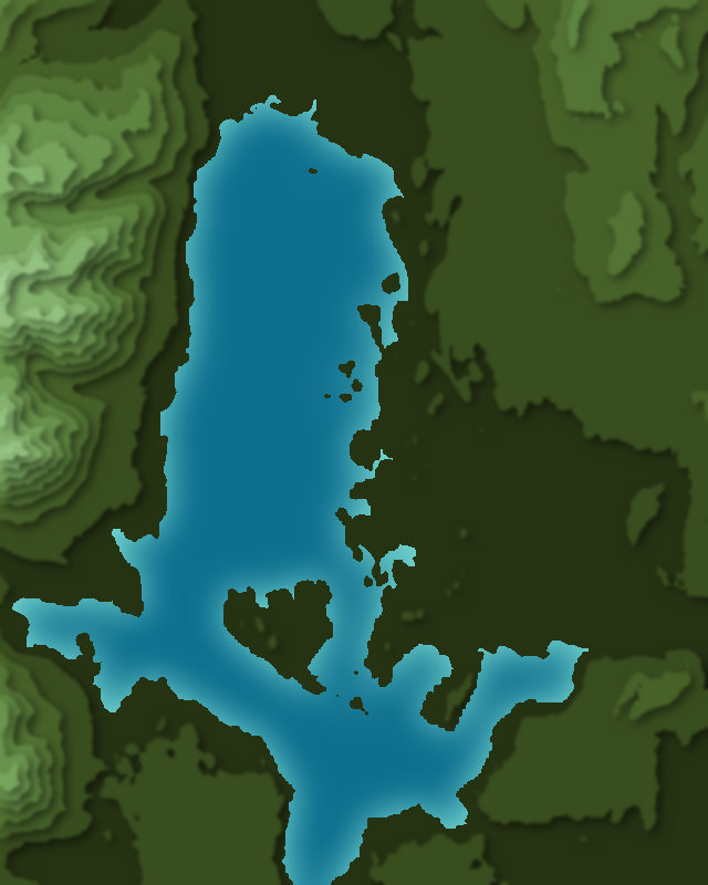
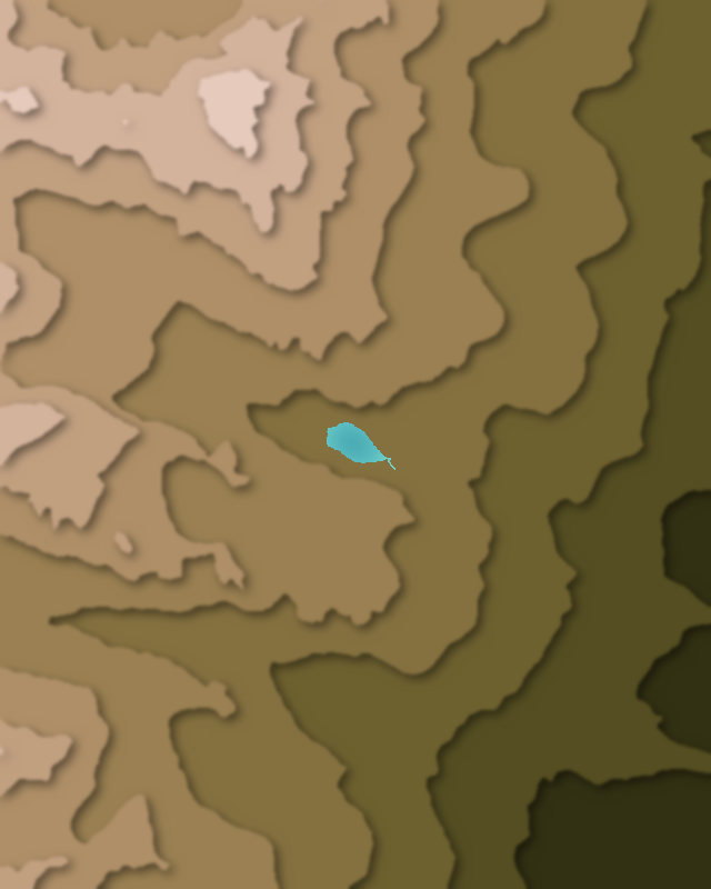
Glaciers
2 glaciers
Peaks
1 peak

Camping and parking in Grand Teton National Park
Campsites, huts, car parks and trailheads mapped in OpenStreetMap near the park's places, each under the place it is nearest to, by straight-line distance. Check access, fees and permits locally.
Campsites 13
Surprise Lake
Lower Saddle
Moraines
Platform Campsites
Jenny Lake Campground
More 8
Caves
Garnet Meadows
Campsite
Full hook up
Colter Bay Campground
Colter Bay Tent Village
South Fork
Lower Paintbrush Camping Zone
Caravan sites 4
Colter Bay RV Park
Site 8
Site 17
Site 21
Parking 12
Parking
Ranger Station & Overflow Parking
Parking
Parking
Parking
More 7
Parking
Parking
Parking
South Timbered Island Turnout
Parking
Parking
Parking
Trailheads 7
Jenny Lake Trailhead
Jenny Lake Loop Trailhead
String Lake Trailhead
Lupine Meadows Trailhead
Hermitage Point Trailhead
More 2
Face Trail Trailhead
Trailhead