Deschutes National Forest Map: Lakes and Camping
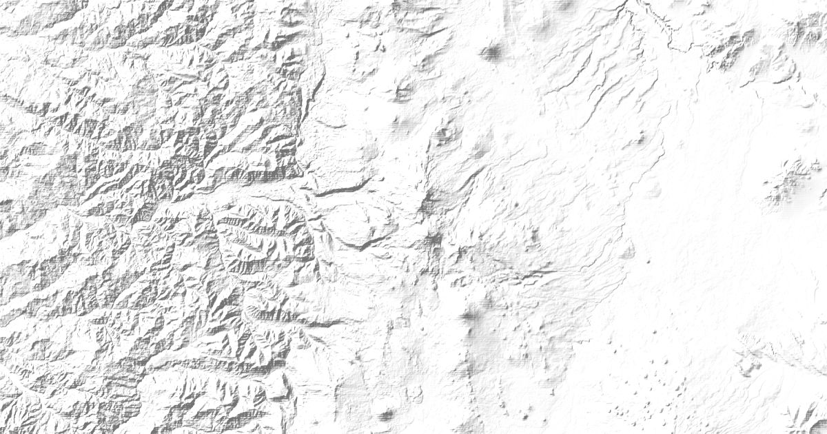
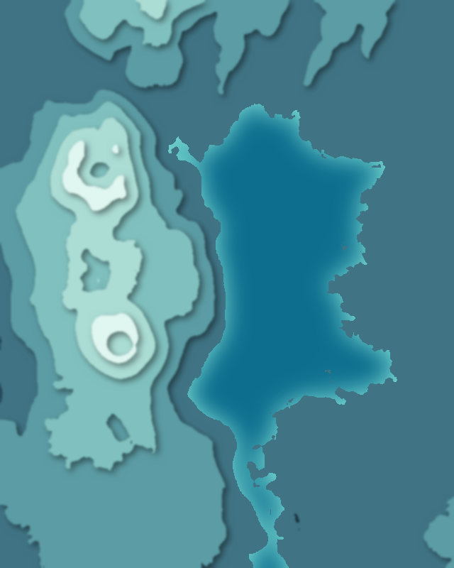
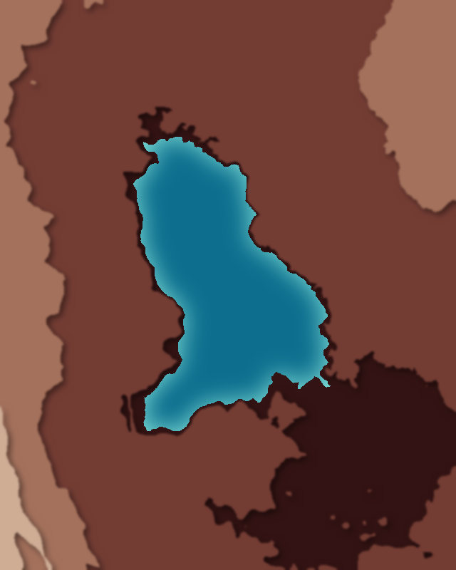
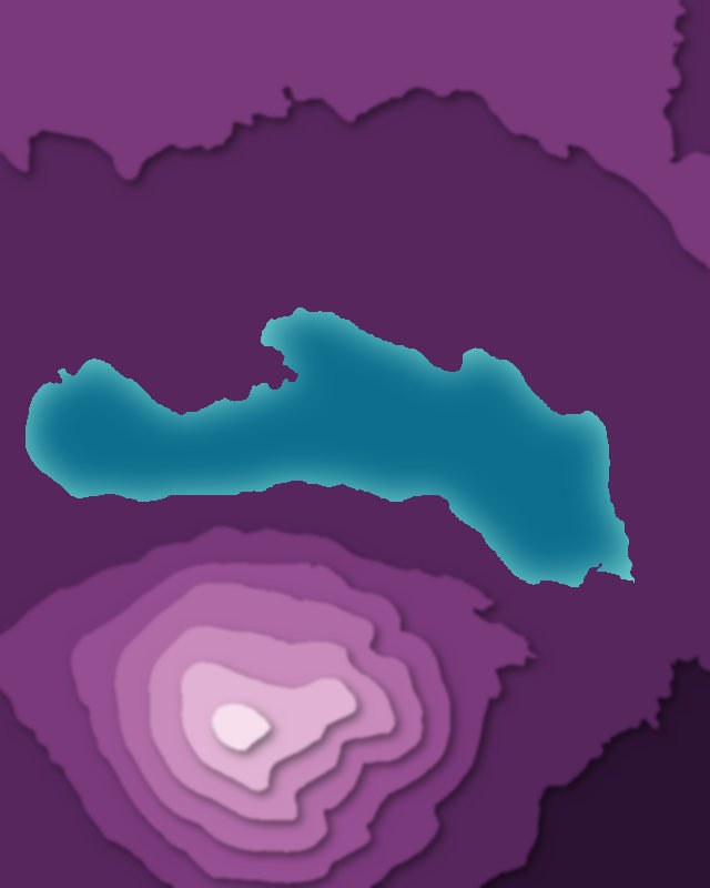
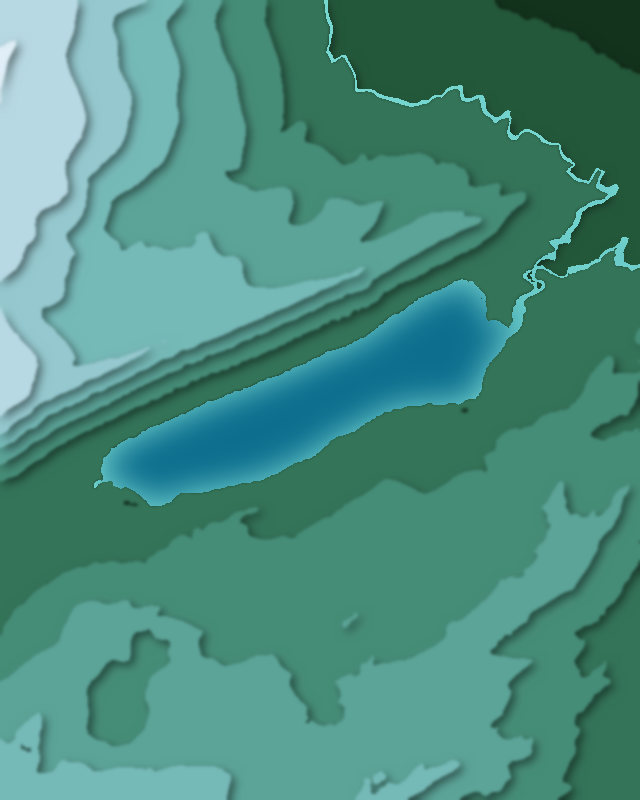
Map of 4 places in Deschutes National Forest: 4 lakes, each with a 3D terrain model, contours and an elevation profile.
Lakes
4 lakes

Camping and parking in Deschutes National Forest
Campsites, huts, car parks and trailheads mapped in OpenStreetMap near the park's places, each under the place it is nearest to, by straight-line distance. Check access, fees and permits locally.
Campsites 12
South Shore Campground
Blue Bay Campground
Lava Lake Campground
Big Cove Boat-In Campground
Link Creek Campground
More 7
Little Lava Lake Campground
Little Cove Boat-In Campground
Soda Creek Campground
Cultus Lake Campground
Campsite
Quinn Meadow Horse Camp
South Campground
Huts 2
Cultus Lake Lodge
Sunrise Lodge
Parking 12
Parking
Parking
Parking
Parking
Parking
More 7
Parking
Parking
Winopee Lake Trailhead
Parking
Parking
Parking
Many Lakes Trailhead
Trailheads 3
Soda Creek
Green Lakes
Elk Lake Trailhead