Mountains
Death Valley National Park Map: Lakes, Peaks and Camping
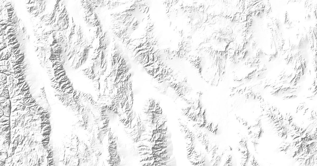
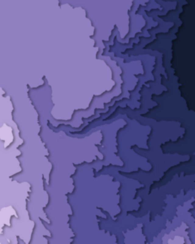
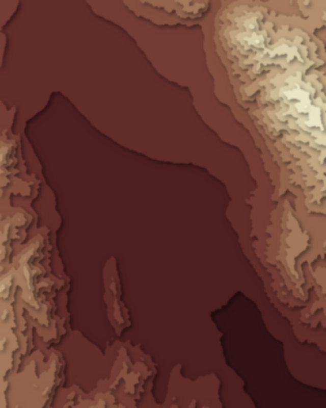
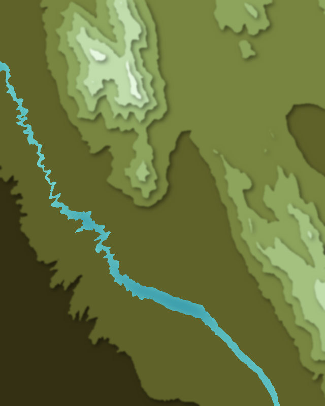
Map of 4 places in Death Valley National Park: 2 canyons, 1 lake and 1 peak, each with a 3D terrain model, contours and an elevation profile.
- Lake
- Peak
- Canyon
Canyons
2 canyons
Lakes
1 lake
Peaks
1 peak

Camping and parking in Death Valley National Park
Campsites, huts, car parks and trailheads mapped in OpenStreetMap near the park's places, each under the place it is nearest to, by straight-line distance. Check access, fees and permits locally.
Campsites 1
Panamint Springs Resort Camping & RV
Parking 6
Parking
Parking
Point of Rocks Springs Parking
Crystal Reservoir Parking
Father Crowley Vista
More 1
Crystal Reservoir Parking
Trailheads 1
Darwin Falls Trailhead