Mountains
Daisetsuzan National Park Map: Peaks, Canyons and Camping
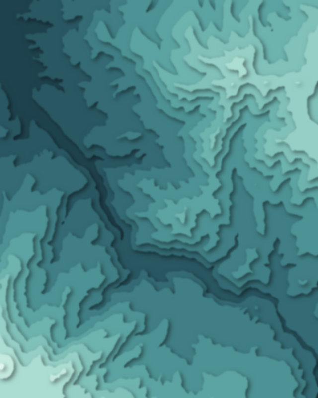
Map of 4 places in Daisetsuzan National Park: 3 peaks and 1 canyon, each with a 3D terrain model, contours and an elevation profile.
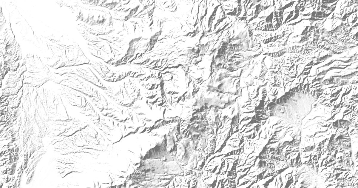
- Peak
- Canyon
Peaks
3 peaks
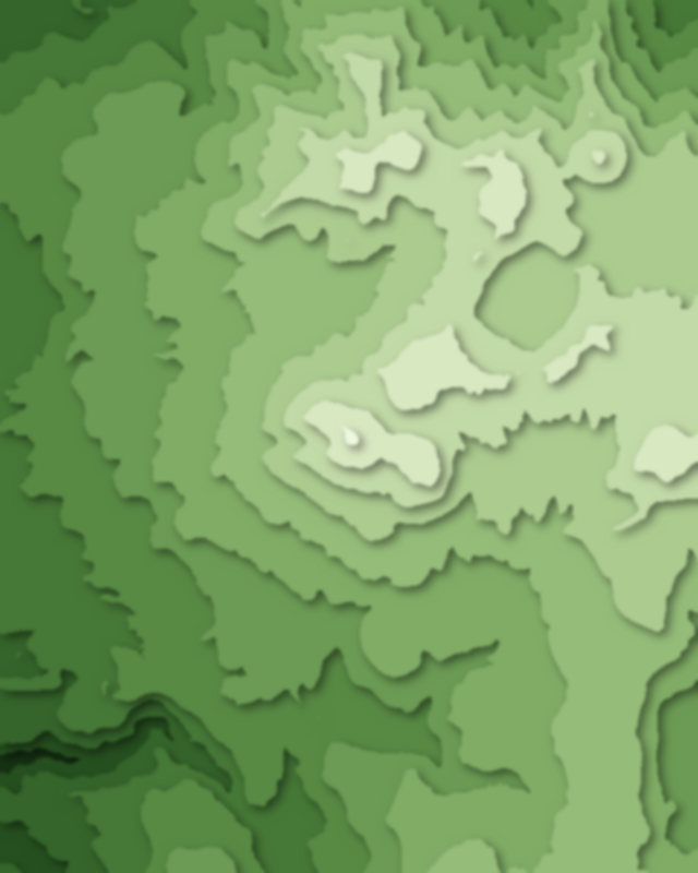
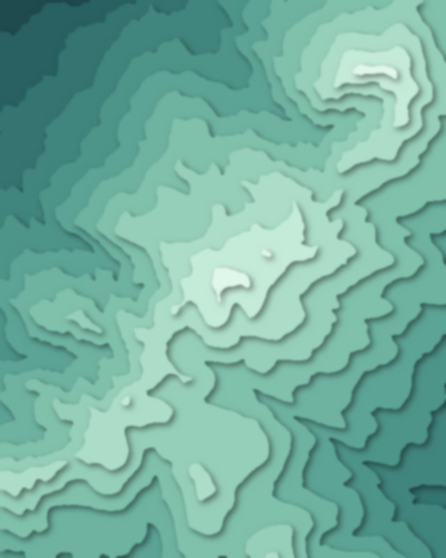
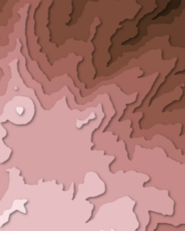
Canyons
1 canyon

Camping and parking in Daisetsuzan National Park
Campsites, huts, car parks and trailheads mapped in OpenStreetMap near the park's places, each under the place it is nearest to, by straight-line distance. Check access, fees and permits locally.
Campsites 7
層雲峡野営場
黒岳野営指定地
白銀荘前キャンプ場
白雲岳野営指定地
美瑛富士キャンプ地
More 2
層雲峡オートキャンプ場
国設白金野営場
Huts 2
黒岳石室
美瑛富士避難小屋
Parking 9
Parking
Parking
大雪山バーデハウス 層雲峡;黒岳の湯
Parking
Parking
More 4
Parking
Parking
Parking
Parking
Trailheads 2
黒岳七合目登山口
十勝岳新得コース登山口