Mountains
Chichibu Tama Kai National Park Map: Peaks and Camping
Map of 4 places in Chichibu Tama Kai National Park: 4 peaks, each with a 3D terrain model, contours and an elevation profile.
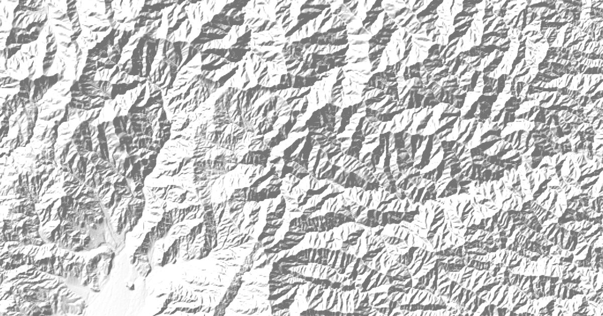
Peaks
4 peaks





Camping and parking in Chichibu Tama Kai National Park
Campsites, huts, car parks and trailheads mapped in OpenStreetMap near the park's places, each under the place it is nearest to, by straight-line distance. Check access, fees and permits locally.
Campsites 9
Campsite
アメリカキャンプ村
川井キャンプ場
奥多摩福音の家
ナチュラルカフェキャンプサイト
More 4
SK落合キャンプ場
Campsite
甲武キャンプ村
奥秋キャンプ
Huts 8
雲取山避難小屋
雲取山荘
勝縁荘
富士見山荘
富士見山荘
More 3
東雲山荘
奥多摩小屋(閉鎖)
Hut
Parking 8
Parking
Parking
滝本駅駐車場
Parking
Parking
More 3
Parking
Parking
丹波山温泉;のめこい湯(Pは道の駅P)
Trailheads 1
唐松谷林道入口