New Zealand
Canterbury Region Mountains Map: Peaks, Lakes and Passes in 3D
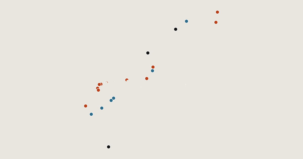
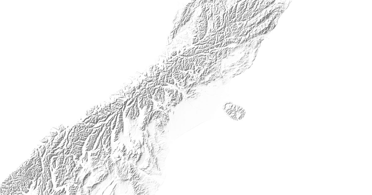
Map of 22 places in Canterbury Region: 13 peaks, 6 lakes and 3 passes, each with a 3D terrain model, contours and an elevation profile.
Lists
- Lake
- Peak
- Pass
Highest Mountains in Canterbury Region
13 peaks
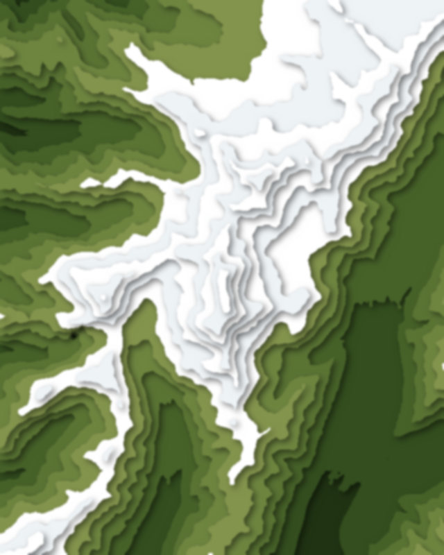
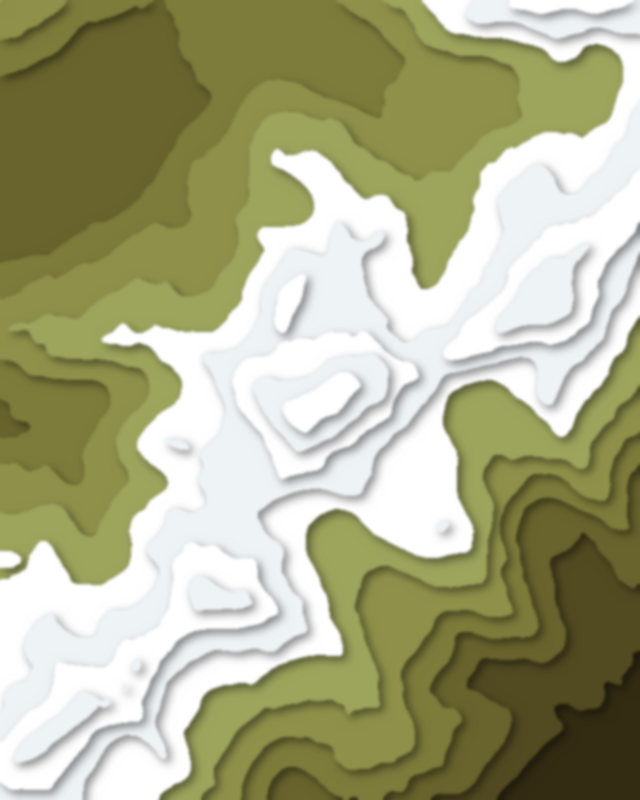
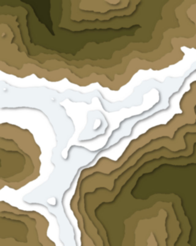
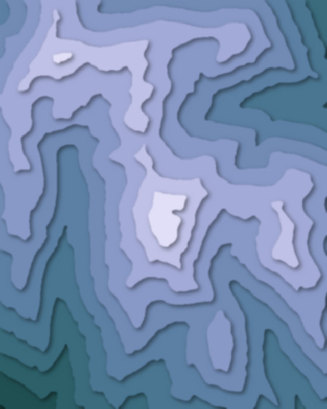
| # | Peak | Elevation | Prominence | Region |
|---|---|---|---|---|
| 9 | Mount Hutt | 2,086 m | 0 m | Canterbury Region, New Zealand |
| 10 | Mount Ollivier | 1,933 m | 41 m | Canterbury Region, New Zealand |
| 11 | Mount Somers / Te Kiekie | 1,688 m | 636 m | Canterbury Region, New Zealand |
| 12 | Castle Hill | 920 m | 0 m | Canterbury Region, New Zealand |
| 13 | Te Heru-o-Kahukura / Sugarloaf | 494 m | 160 m | Canterbury Region, New Zealand |
Lakes
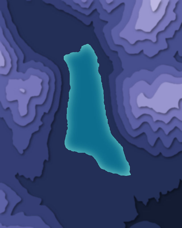
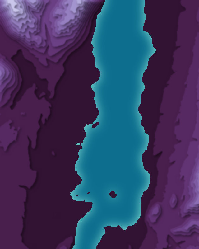
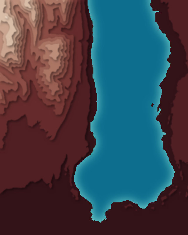
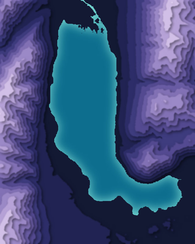
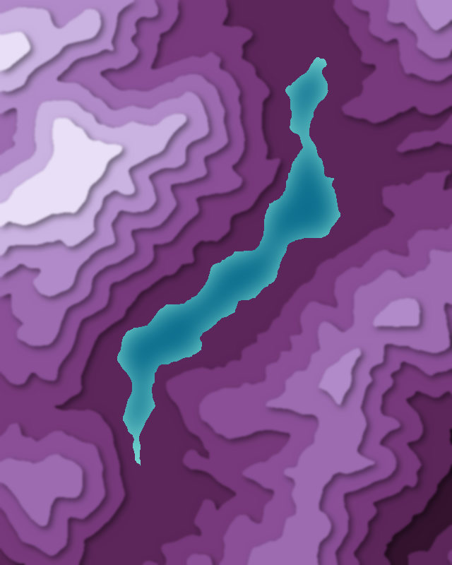
6 lakes
Passes
3 passes