
Calanque de Morgiou
- Depth
- 211 m
- Rim
- 233 m
- Length
- 0.1 km
- Tonight
- 11°CPartly cloudy · Wind 52 km/h NW
Calanque de Morgiou is up to 211 m deep: the rim reaches 233 m and the floor 22 m, along 0.1 km.
All facts
- Floor
- 22 m
Calanque de Morgiou 3D map
Drag to orbit · click, then scroll to zoom (or Ctrl/⌘ + scroll) · One finger scrolls the page · two fingers orbit and zoom · 12 × 12 km
Calanque de Morgiou terrain and contours
25 m contours from the Copernicus GLO-30 terrain model. Click two points on the map to draw your own cross-section.Tap two points on the map to draw your own cross-section.
Calanque de Morgiou elevation profile
West → east through the centre
Calanque de Morgiou weather
Tonight · Partly cloudy · 11°C (52°F) · Wind 52 km/h NW
Calanque de Morgiou forecast for about 233 m.
- Tonight11°–52 km/h NW
- Today11°15°–47 km/h NW
- Sun11°17°0.1 mm49 km/h NW
- Mon11°18°–43 km/h NW
- Tue13°19°–15 km/h SE
- Wed13°19°–14 km/h NW
- Thu13°19°–9 km/h N
- Fri13°18°–8 km/h NW
- Sat12°17°–20 km/h NW
- Sun9°17°–23 km/h NW
Forecast data: MET Norway, CC BY 4.0; daily low and high, precipitation total and strongest wind from the hourly data, model run Oct 24, 01:17 UTC.
Camping & parking near Calanque de Morgiou
Campsites, parking, trailheads and mountain huts mapped in OpenStreetMap around Calanque de Morgiou, nearest first, by straight-line distance. Check access, fees and permits locally.
Nearest parking
L'Étang
Nearest campsite
Camps de protection de la forêt
All mapped places 4
| Place | Distance |
|---|---|
| L'ÉtangParking | 0.7 km NW |
| Parking | 0.7 km NW |
| Parking | 1.0 km NW |
| Camps de protection de la forêtCampsite | 3.8 km NNW |
Slope
Share of the 12 × 12 km view by steepness, from the 30 m model.
Mostly gentle: 71% of the view is under 15°.
- Steeper than 30°
- 8.3% of the 144 km² view
- Relief in view
- 646 m low point -4 m
Land cover
ESA WorldCover 10 m classification of the same area.
Snow & ice means glaciers and year-round snow (a yearly average), not today’s snow cover.
Nearby summits
Named peaks within 6 km of Calanque de Morgiou.
Summit list 9
- 1Aiguille Guillermin495 m 1.8 km NE
- 2Mont Puget563 m 1.8 km ENE
- 3Le Candélon446 m 2.2 km E
- 4Grande Candelle465 m 2.2 km E
- 5Pain de Sucre414 m 2.9 km NE
- 6Signal Est de l'Homme Mort396 m 3.5 km W
- 7Signal Sud de l'Homme Mort396 m 4.2 km W
- 8Sommet Ouest de l'Homme Mort374 m 4.6 km WNW
- 9Mont Carpiagne645 m 5.1 km NNE
Wildlife seen nearby
Sightings of the most-seen species on iNaturalist (research grade) within 6 km; 2,167 species recorded in all.
Sightings per species 6
- Grey-leaved Cistus279
- Shrubby Globularia252
- Red Valerian247
- Red Scorpionfish242
- Violescent Sea-whip225
- Leopard Sea Slug223
Where Calanque de Morgiou sits
- Region
- Provence-Alpes-Côte d'Azur19France176Europe2,143
Nearby places
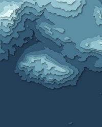
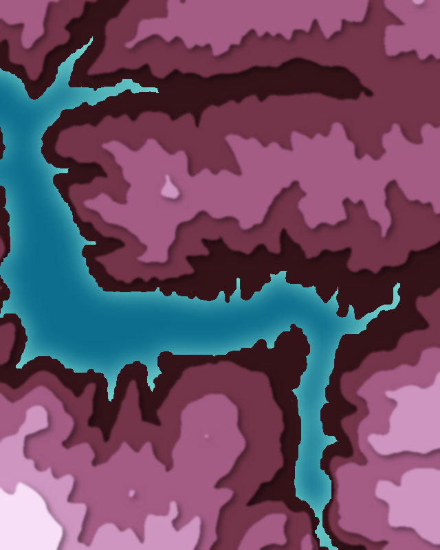
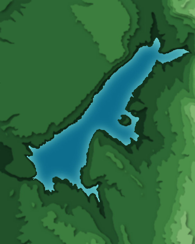
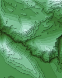
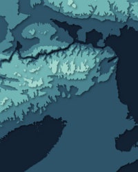
Calanque de Morgiou downloads: topographic map, heightmap, STL 3D model and DEM
Free files made in your browser from this page's terrain data. No sign-up; credit the sources below.
3D printing & 3D apps
GIS & GPS
Free to use with credit: see the data sources
Data sources
- Terrain
- Produced using Copernicus WorldDEM-30 © DLR e.V. 2010-2014 and © Airbus Defence and Space GmbH 2014-2018 provided under COPERNICUS by the European Union and ESA; all rights reserved. The European Union, ESA, DLR and Airbus incur no liability for any use of this data and do not endorse this service.
- Imagery
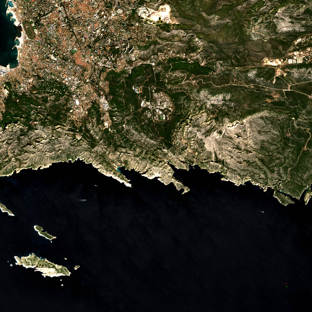
- Contains modified Copernicus Sentinel data 2026 (scene 2026-09-10)
- Land cover
- © ESA WorldCover project 2021 / Contains modified Copernicus Sentinel data (2021) processed by ESA WorldCover consortium
- Facts
- Wikidata (CC0)
- Camping & parking, Geometry
- © OpenStreetMap contributors (ODbL)
- Summits
- © OpenStreetMap contributors, via Overture Maps Foundation (ODbL)
- Wildlife
- iNaturalist community observations, counts only
- Forecast
- Weather forecast from MET Norway (CC BY 4.0)