Bannau Brycheiniog National Park Map: Lakes, Peaks and Camping
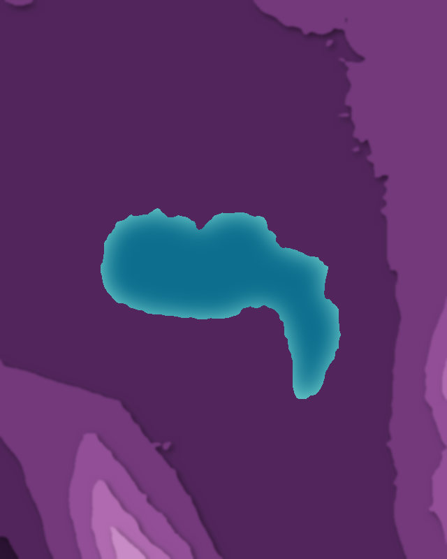
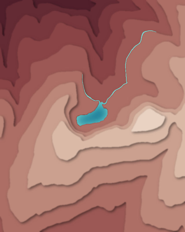
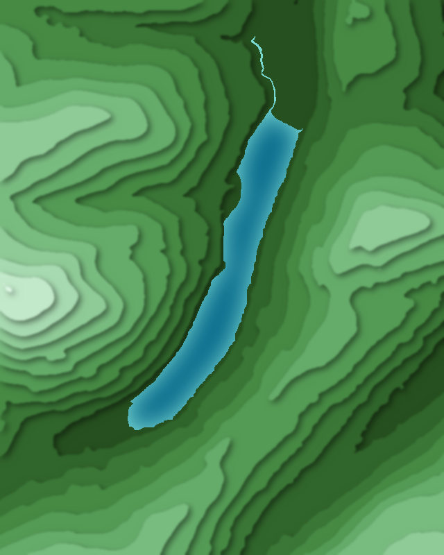
Map of 4 places in Bannau Brycheiniog National Park: 3 lakes and 1 peak, each with a 3D terrain model, contours and an elevation profile.
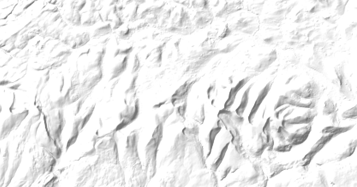
- Peak
- Lake
Lakes
3 lakes
Peaks
1 peak

Camping and parking in Bannau Brycheiniog National Park
Campsites, huts, car parks and trailheads mapped in OpenStreetMap near the park's places, each under the place it is nearest to, by straight-line distance. Check access, fees and permits locally.
Campsites 12
Lakeside Caravan Park
Llangorse Multi Activity Centre Campsite
Campsite
YHA Danywenallt
Cwm-llwch
More 7
Campsite
The Alltimate View
Wild camping spot
Campsite
Tafarn-y-Garreg
Brecon Beacons Camping & Caravan Park
Cosmos Camping
Caravan sites 4
Llynfi Holiday Park
Pencelli Castle
Black Mountain Caravan and Camping Park
Aberbran Fawr Campsite
Huts 2
Login
BIrch Hall Bothy
Parking 12
Parking
Parking
Parking
Parking
Parking
More 7
Parking
Parking
Pont ar Daf car park
Nant Cwm Llwch Car Park
Parking
Parking
Parking