Mountains
Bandai-Asahi National Park Map: Lakes, Peaks and Camping
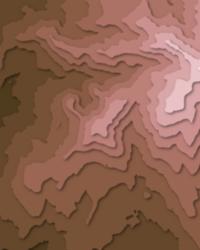
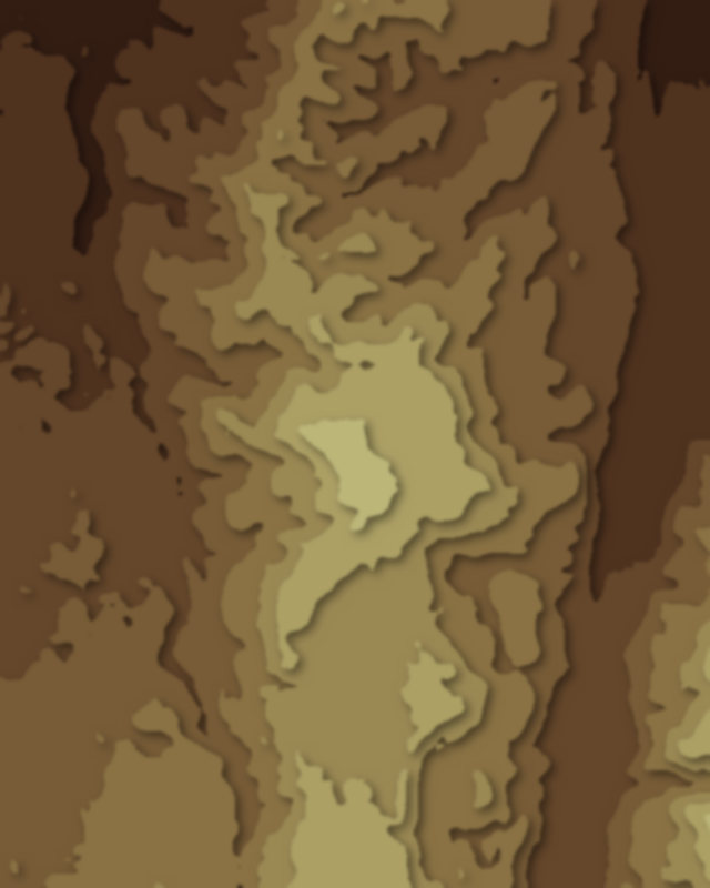
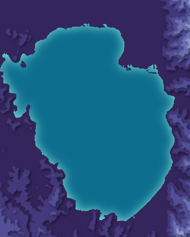
Map of 8 places in Bandai-Asahi National Park: 7 peaks and 1 lake, each with a 3D terrain model, contours and an elevation profile.
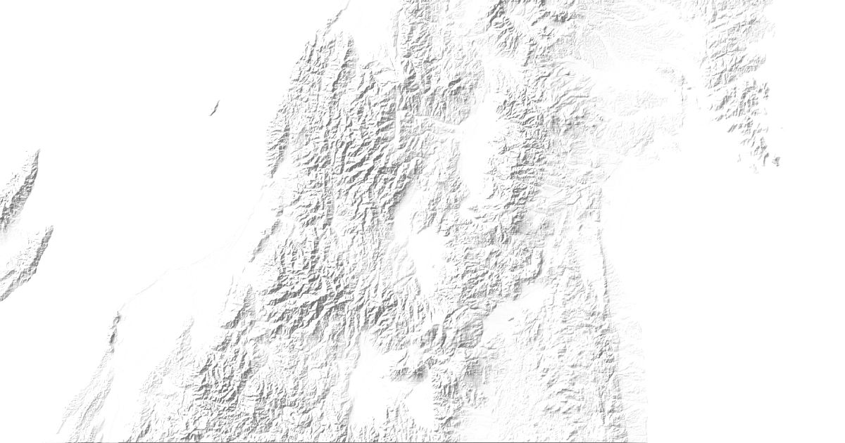
- Lake
- Peak
Peaks
7 peaks
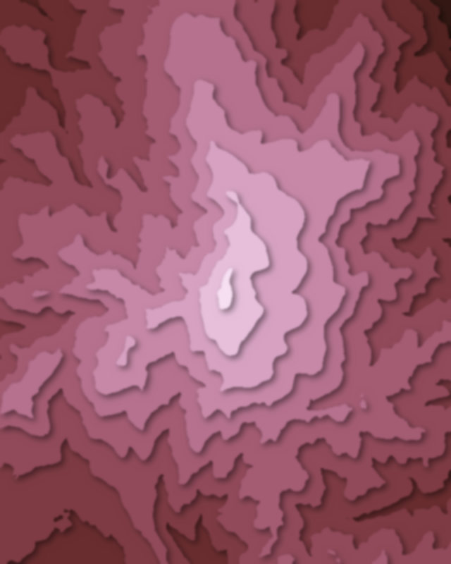
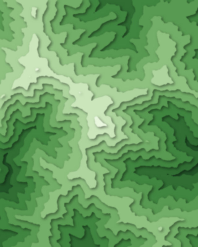

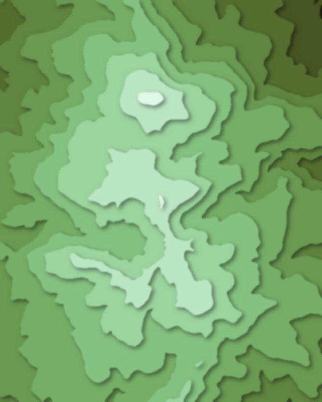

Lakes
1 lake

Camping and parking in Bandai-Asahi National Park
Campsites, huts, car parks and trailheads mapped in OpenStreetMap near the park's places, each under the place it is nearest to, by straight-line distance. Check access, fees and permits locally.
Campsites 13
兎平キャンプ場
羽黒山キャンプ場
Abandoned building
崎川浜キャンプ場
山形県志津野営場
More 8
中田浜オートキャンプ場
マリンスポーツ中田浜オートキャンプ場
cafe&activity nowhere
月山・弓張平オートキャンプ場
月山あさひサンチュアパーク
松原キャンプ場
五右衛門オートキャンプ場
立谷沢デイキャンプ
Huts 8
月山頂上小屋
鉄山避難小屋
くろがね小屋
慶応吾妻山荘
家形山避難小屋
More 3
東海大学緑樹山荘
清川行人小屋
念仏ヶ原避難小屋
Parking 20
Parking
Parking
Parking
Parking
Parking
More 15
Parking
Parking
Parking
仙人沢駐車場
八方台
Parking
Parking
Parking
Parking
A駐車場
姥沢駐車場
月山八合目駐車場
磐梯朝日国立公園天神濱駐車場
Parking
Parking
Trailheads 1
裏登山口